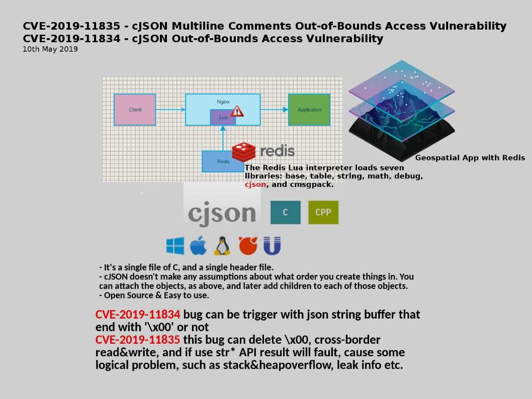
Preface: Lua is a powerful, fast, lightweight, embeddable scripting language. So it can work with Geospatial data perfectly.
Technical background: Redis is an open source (BSD licensed), in-memory data structure store, used as a database, cache and message broker. In order to achieve its outstanding performance, Redis contains different functions.The Redis Lua interpreter loads seven libraries: base, table, string, math, debug, cjson, and cmsgpack. From performance point of view, CJSON library provides extremely fast JSON manipulation within Lua.
Vulnerability details:
CVE-2019-11834 : cJSON Multiline Comments Out-of-Bounds Access Vulnerability (allowing the attacker to compromise the system completely)
CVE-2019-11835: cJSON Out-of-Bounds Access Vulnerability (allowing the attacker to compromise the system completely)
Remediation: The vendor has released software updates at the following link – https://github.com/DaveGamble/cJSON/releases